


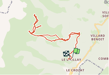

18.1 km | 34 km-effort

User


FREE GPS app for hiking
 SityTrail
IGN / Geographical institutes
SityTrail World
The world is yours!
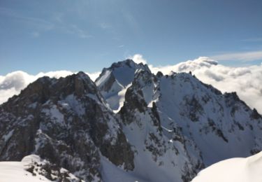
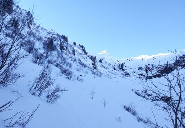
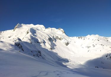
Trail Touring skiing of 13.1 km to be discovered at Auvergne-Rhône-Alpes, Savoy, La Léchère. This trail is proposed by nadd73.
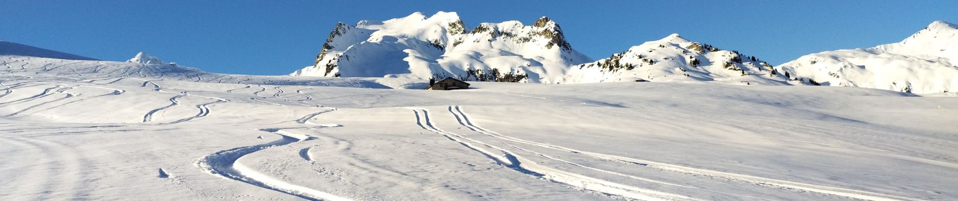
5 personnes en tout pour cette journée ensoleillée à souhait. En plus j'ai eu de la poudreuse ou de la neige ramollie.


Walking
Touring skiing
Touring skiing
Touring skiing
Touring skiing
Walking
Walking
Walking
On foot